TUM Develops Drone and Laser System for Volcanic Gas Monitoring
By Adrian Cole
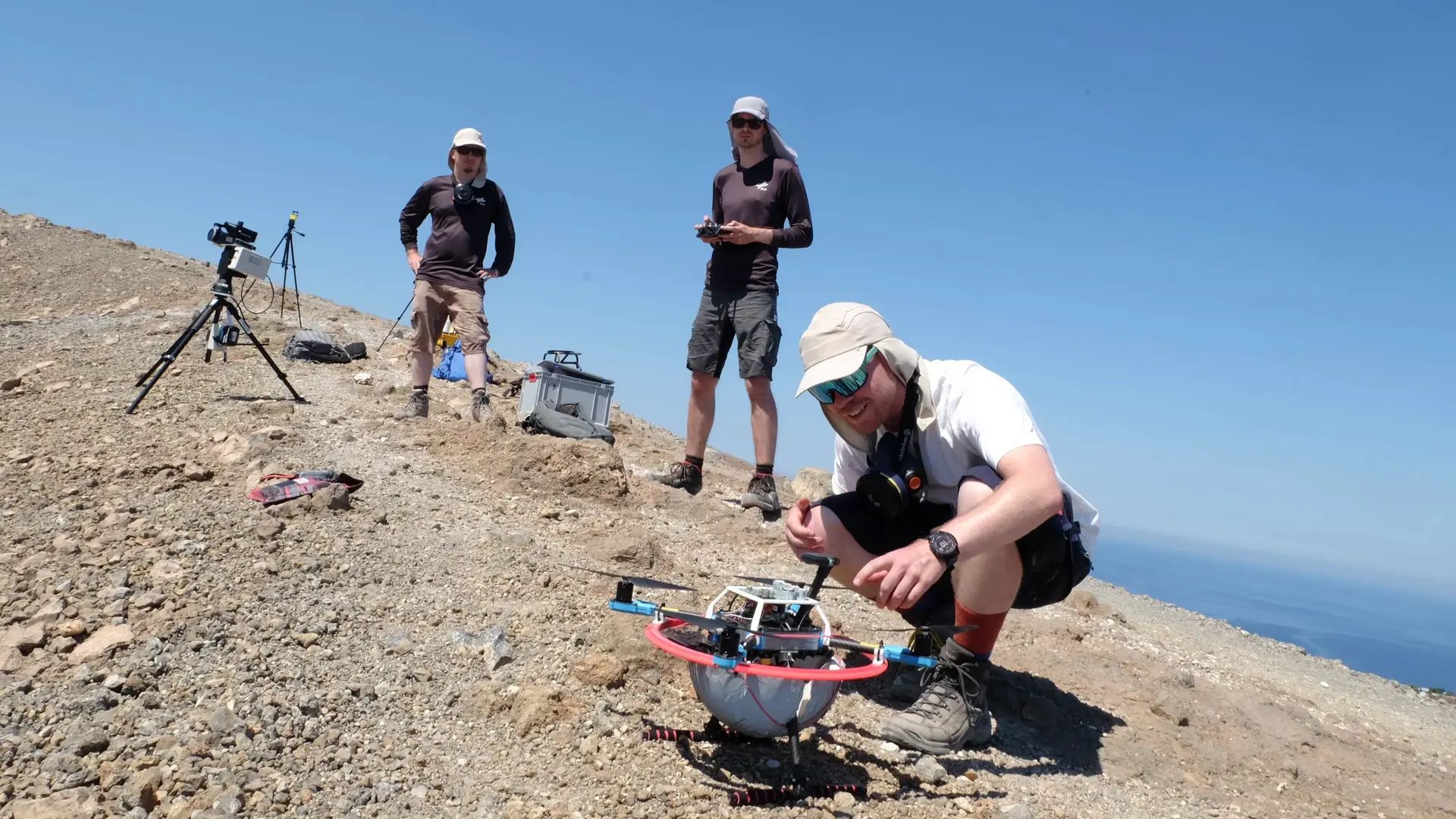
Researchers at the Technical University of Munich (TUM) have unveiled an autonomous system that utilizes drones and lasers to map volcanic gas concentrations with high precision. The system is designed to enhance the prediction of volcanic eruptions by accurately measuring gases such as CO₂ and SO₂.
The system operates by aligning a ground-based laser with a drone carrying a reflector. This alignment is achieved through LED markers and GNSS data, allowing the system to track the drone and measure gas concentrations at distances up to 60 meters. The measurement error is reported to be approximately 5%.
Two peer-reviewed preprints detail the technology. The first, titled “Visual Cooperative Drone Tracking for Open-Path Gas Measurements,” describes the use of Tunable Diode Laser Absorption Spectroscopy for reliable CO₂ measurements. The second, “Towards Drone-based Mapping of Volcanic Gases using Gas Tomography,” introduces a model-based gas tomography reconstruction that compensates for wind-induced advection, ensuring accurate mapping even in challenging conditions.
Field tests conducted at Salinelle dei Cappuccini, a mud-volcano area, confirmed the system's ability to generate gas distribution maps that align closely with manual in-situ measurements.